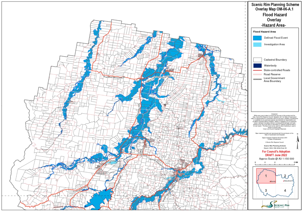
The two recent flood studies incorporate climate change projections and enable Council to provide the most up to date flood levels and to inform changes to land use and new building works.
The Veresdale Flood Study (February 2022) has been developed to improve flood hazard information in the Cyrus Creek catchment of Veresdale, to inform development and building work.
The Canungra Township – Detailed Flood Study (Version 2, July 2021) updates the existing flood model by applying a more suitable ‘roughness’ level that is reflective of the built environment and vegetation in the Canungra township area. The updated model results in only minor changes to the existing flood hazard mapping.
Division 3 Councillor Virginia West said this provides the most up to date information for land owners to access via Council’s website.
“Both updated flood studies were completed by a certified Registered Professional Engineers of Queensland (RPEQ) engineer and were previously adopted by Council at the Ordinary Meeting
held on Tuesday 26 April 2022.”
Division 2 Councillor Jeff McConnell said it is pleasing that the revised study reduces the model flood overlay for many residents in the Veresdale area.
“The improved hazard information as part of the study will aid future growth in Veresdale.”
Affected property owners will soon receive correspondence advising of the changes.
The updated flood mapping can be viewed on the Flood Aware page on Council’s website, or by viewing the online mapping for the Planning Scheme (Flood Hazard Overlay).
The updated Scenic Rim Planning Scheme 2020 will be available on Council’s website from 17 June 2022.